Philadelphia Brief focus
Philadelphia Brief Overview
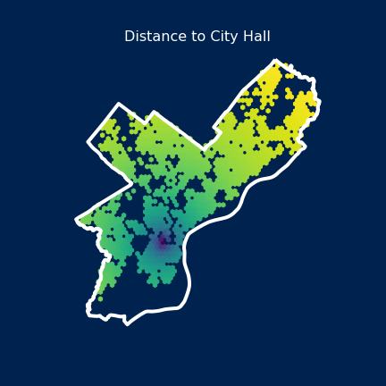
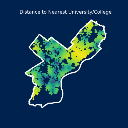
In this page we show the neighborhoods, of philadelhpia with respect to the actual city and map to better understand the location of any areas they wish to invest in. Here, on this page We can also see some gentrification features such as Distribution of farmer’s Market and Restaurants. You should also look at the Walking Philly pages along with this to better udnerstand some key walking routes in the city. We also show some imagery to show how spatial feautures such as location of Logan Square or City Hall, or Univeristy of Pennsylvania nad other schools along with subway stops impacct price predictive models, a thorough understanding and result of these is in the Machine Learning Section. Also please note spatial features such as graffiti and 311 is located in CSR part as coproate social responsibility towards such causes can mitigate for them.
Philadelphia Neighborhoods
Philadelhphia understanding neighbourhoods
Philadelphia Gentrification Mapping
Here we can see locations of restaurants above and farmer’s markets below, and their count.
Philadelphia Spatial Features
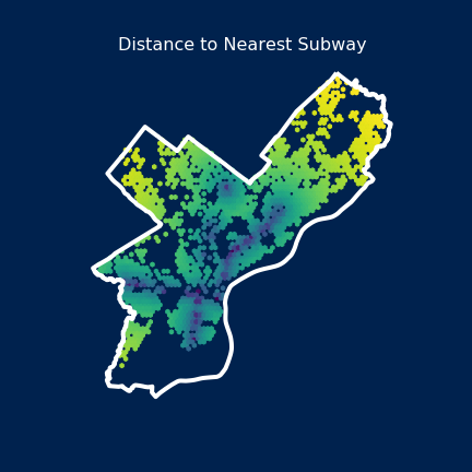
Distance to subway stops
Distance to Logan Square

Distance to City Hall
Distance to Nearest Universities
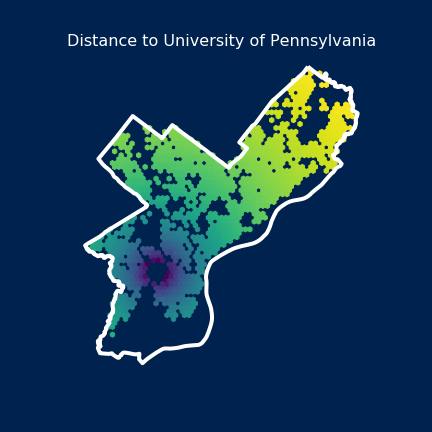
Distance to University of Pennsylvania